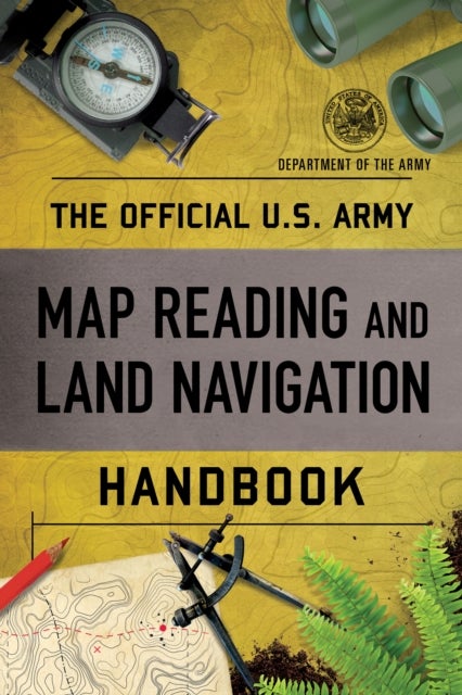
The Official U.S. Army Map Reading and Land Navigation Handbook av Department of the Army
229,-
<p>The U.S. Army¿s official guide</p><p>to map reading,</p><p>determining location, and navigating.</p><p>For a soldier, knowing where you are is a matter of life and death, and so it comes as no surprise that the Army has produced the most complete, clear, and thorough guide to map reading and navigation available.</p><p>The book starts with a comprehensive explanation of the meaning and uses of maps, whether photographic, planimetric (standard-style), or topographic, then proceeds to the use of those maps, discussing compass techniques, celestial navigation, and determination of distance. There is a detailed section on interpreting topographic maps, with notes on tactical considerations for differing terrain, as well as determining the ease of movement through an area. </p><p>The book¿s crucial, well-illustrated chapters have invaluable information on:</p><p>Training Strategy ¿ Maps ¿ Marginal Information and Symbols</p><p>Grids ¿ Scale and Distance ¿ Direction ¿ Overlays</p><p>Aeria

Relaterte produkter
Vis flereVi har valgt ut en rekke interessante produkter i samme kategori som The Official U.S. Army Map Reading and Land Navigation Handbook av Department of the Army. Hvis du ikke finner noe interessant her kan du enkelt klikke på “vis flere”.


Produktinformasjon
- Alle prisene nevnt ovenfor er oppgitt i Norske kroner.
- Dette produktet er tilgjengelig hos Norli NO.
- Hos Norli NO kan du kjøpe The Official U.S. Army Map Reading and Land Navigation Handbook av Department of the Army for kun 229,-.
- Den laveste prisen på The Official U.S. Army Map Reading and Land Navigation Handbook av Department of the Army ble registrert 17. februar 2025 kl. 14:48.
Prisutvikling
Er den nåværende prisen et godt tilbud?
Grafen over prisutviklingen viser den laveste prisen over tid, eksklusiv fraktkostnader.
Prishistorikk for The Official U.S. Army Map Reading and Land Navigation Handbook av Department of the Army
Laveste pris
229,-
17 feb. 2025
Høyeste pris
229,-
17 feb. 2025