Philip's Navigator Street Atlas Norfolk av Philip's Maps
229,-
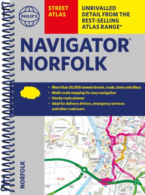
<p><b>The only county Street Atlas with all the named streets of Norfolk and perfect back-up for emergency services, delivery drivers, visitors and locals.</b><br><br>With <b>more than 16,000 named streets</b>, roads, lanes and alleys, this is the essential map book for residents and visitors - especially if you''re in a hurry.<br><br>Includes all the streets in BECCLES, GREAT YARMOUTH, KING''S LYNN, Norwich, Thetford, Attleborough, Aylsham, Brundall, Bungay, Caister-on-Sea, Cromer, Dersingham, Diss, Downham Market, Fakenham, Harleston, Heacham, Hemsby, Hunstanton, Lakenheath, Loddon, North Walsham, Sheringham, Swaffham, Watton, Wells-next-the-Sea, Wisbech, Wymondham.<br><br>-<b> New completely revised edition</b> in practical spiral-bound format<br>- <b>Street maps show car parks</b>, schools, hospitals and many other places of interest, including off the beaten track<br>- <b>4-page practical route-planning</b> section showing all A and B roads<br>- <b>Super-clear</b> mapping<br>- <b>

Relaterte produkter
Vis flereVi har valgt ut en rekke interessante produkter i samme kategori som Philip's Navigator Street Atlas Norfolk av Philip's Maps. Hvis du ikke finner noe interessant her kan du enkelt klikke på “vis flere”.


Produktinformasjon
- Alle prisene nevnt ovenfor er oppgitt i Norske kroner.
- Dette produktet er tilgjengelig hos Norli NO.
- Hos Norli NO kan du kjøpe Philip's Navigator Street Atlas Norfolk av Philip's Maps for kun 229,-.
- Den laveste prisen på Philip's Navigator Street Atlas Norfolk av Philip's Maps ble registrert 17. februar 2025 kl. 14:48.
Prisutvikling
Er den nåværende prisen et godt tilbud?
Grafen over prisutviklingen viser den laveste prisen over tid, eksklusiv fraktkostnader.
Prishistorikk for Philip's Navigator Street Atlas Norfolk av Philip's Maps
Laveste pris
229,-
17 feb. 2025
Høyeste pris
229,-
17 feb. 2025